Columbia River Estuary Operational Forecast System (CREOFS)
Oceanographic nowcasts and forecast guidance are scientific predictions about the present and future states of a water body (generally including water levels, currents, water temperature and salinity). These predictions rely on either observed data or forecasts from large-scale numerical models. A nowcast incorporates recent (and often near real-time) observed meteorological, oceanographic, and/or river flow rate data and/or analyzed (e.g. gridded) meteorological and oceanographic products. A nowcast covers the period of time from the recent past (e.g., the past few days) to the present, and it can make predictions for locations where observational data are not available. Forecast guidance incorporates meteorological, oceanographic, and/or river flow rate forecasts and makes predictions about the future states of a water body. A forecast is usually initiated by the state of a nowcast.
The wind data used to run CREOFS are based on the National Weather Service (NWS) nested, high resolution (4 km) North American Mesoscale (NAM) weather prediction model winds (for the nowcast and forecast).
Additionally, CREOFS relies on CO-OPS' real-time water level, temperature and salinity observations, the global operational Real-Time Ocean Forecast System (Global RTOFS) at the National Centers for Environmental Prediction (NCEP), which is based on an eddy resolving 1/12° global HYCOM (HYbrid Coordinate Ocean Model), U.S. Geological Survey (USGS) river data, and a regional tidal model of the northeast Pacific Ocean developed by Dr. Mike Foreman. NWS Extratropical Storm Surge (ETSS) forecasts and the Navy's global operational HYCOM forecasts are used as backup.
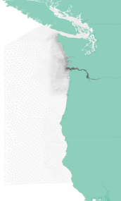
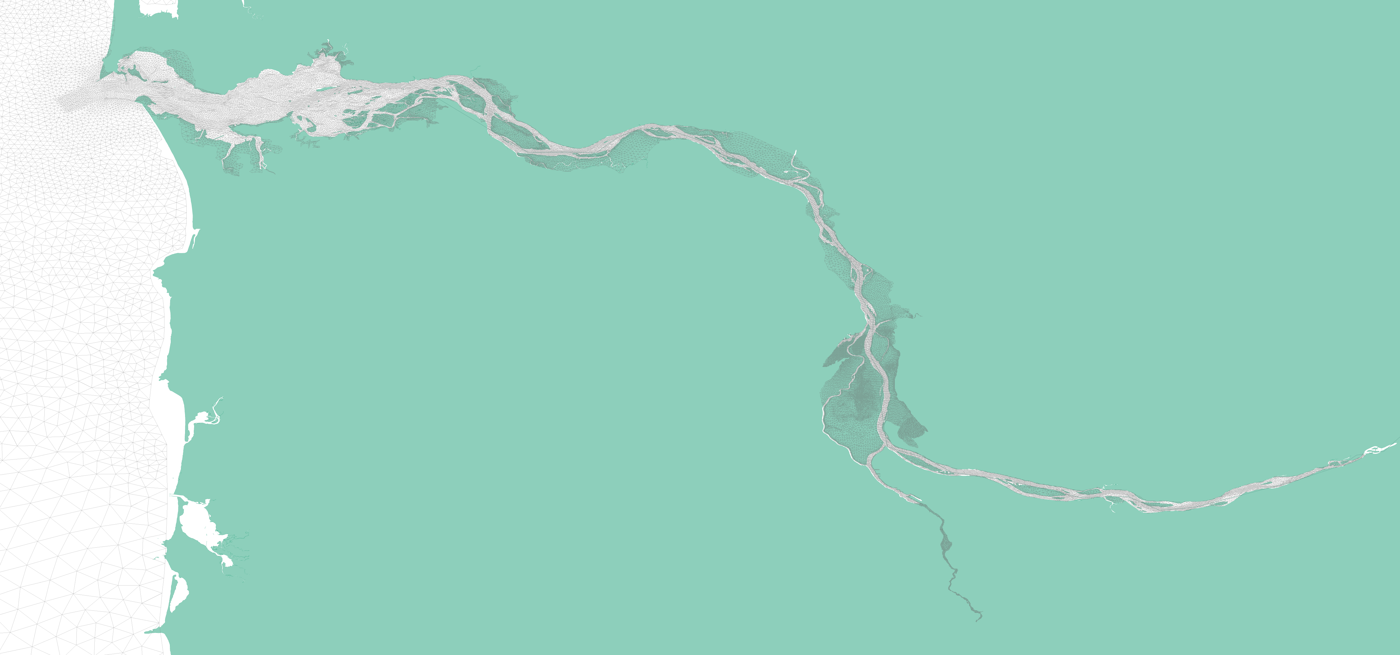
The CREOFS grid has 74,061 nodes and 142,684 elements and includes the upper and lower Columbia River and Estuary. Grid resolution ranges from 39 km on the open ocean boundary to approximately 100 m near the coast, indicating the flexibility of the grid size based on bathymetry from the deep ocean to the coast. Additionally, the higher resolution along the navigational channels within the river, from approximately 100 m to 10 m, provides detailed current features. The entire CREOFS grid and spatial extent is indicated at right.
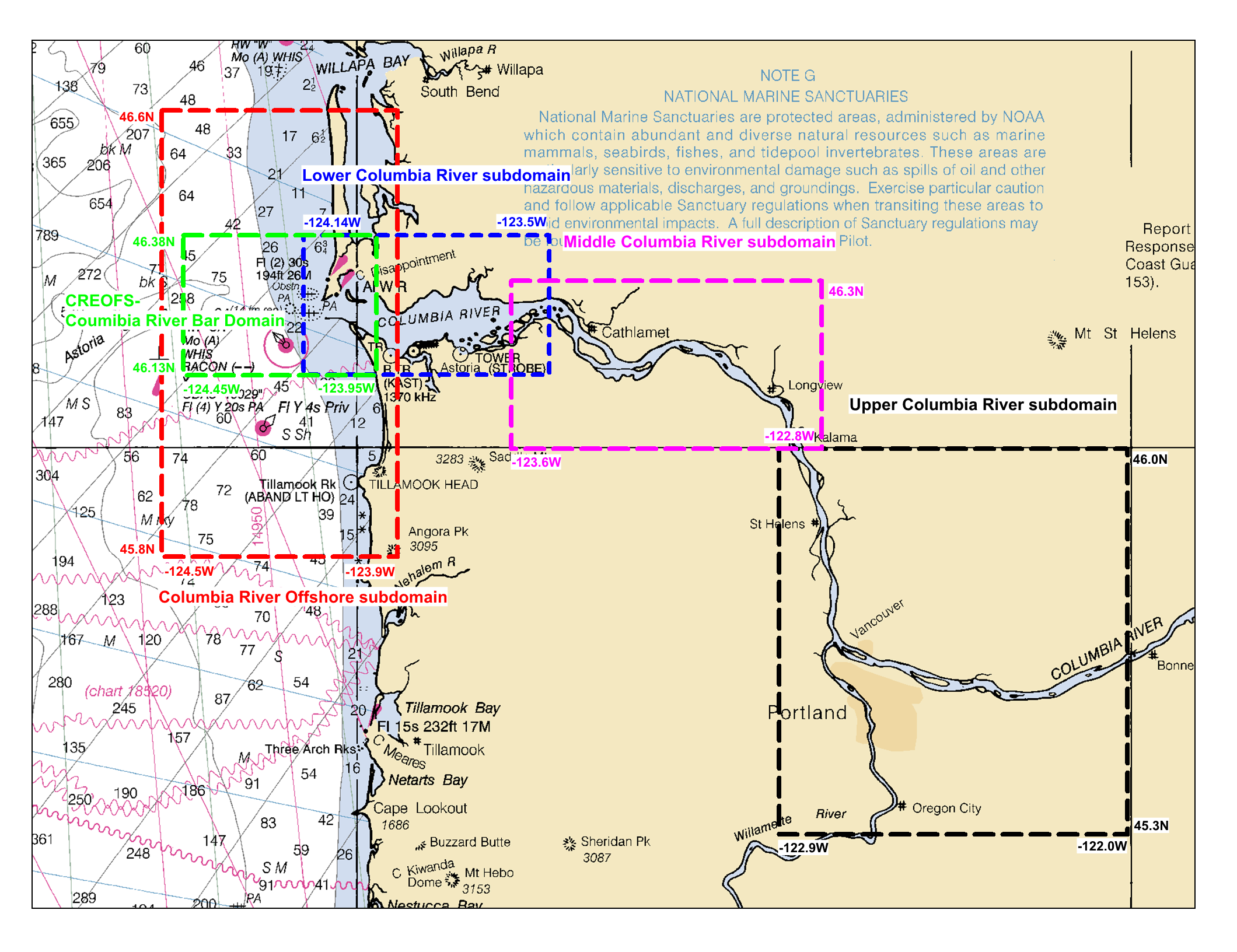
CREOFS output is displayed in five separate subdomains extending from the Upper Columbia River down to the offshore region. The five subdomains are: Upper Columbia River, Middle Columbia River, Lower Columbia River, Columbia River Bar Entrance, and the mouth and offshore region of the Columbia River. Their spatial extent is show in the graphic.
The portion of the CREOFS grid that is available in the five subdomains.
CREOFS runs on NOAA's High Performance Computing System (HPCS) in a new Coastal Ocean Modeling Framework (COMF) developed by CO-OPS. As a result, CREOFS has direct access to NWS operational meteorological products that it needs to run reliably. Nowcast and forecast guidance cycles are run 4 times a day (every 6 hours).
CREOFS output is in NetCDF format. An archive of CREOFS NetCDF nowcast and forecast files can be accessed from THREDDS server.
All CO-OPS official real-time products, including nowcast and forecast guidance from CREOFS are monitored by the CO-OPS's Continuous Operational Real-Time Monitoring System (CORMS). CORMS provides 24 hour per day, 7 day per week monitoring and quality control of sensors and data in order to ensure the availability, accuracy, and quality of tide, water level, current, and other marine environmental information. CORMS is intended to identify invalid and erroneous data and information before application of the data by real-time and near real-time users.
Columbia River Datum (CDR): Established as a non-tidal, defined gradient datum that was developed from an observational study by U.S. Army Corps of Engineers (USACE), Portland District in 1912 (R.E. Hickson, 1912). The USACE installed water level gauges and established low water levels at numerous points along the Columbia River that are the foundation of the present day Columbia River Datum (CRD). CRD is an adopted low water reference plane that runs from Harrington Point at River Mile 23 to Bonneville Dam at River Mile 145. It also extends up the Willamette River at the confluence with the Columbia River to Willamette Falls in Oregon City at Willamette River Mile 27. The CRD reference zero was set at gauge locations such that the datum was below the average low water, but not as low as the lowest record for a long period which resulted from a combination of circumstances that seldom occur. Historically CRD was defined relative to the National Geodetic Vertical Datum of 1929 (NGVD 29) at distinct river miles with linear interpolation applied between defined locations. CRD is now defined at distinct river miles relative to North American Vertical Datum of 1988 (NAVD88).
For tidal datums purposes on the upper Columbia River, tidal datums (e.g. MLLW, MHW) are computed using observations the low river stages of the year, generally August through October. This time period constraint is due to the masking of the tidal signal from strong seasonal river runoff during other portions of the year (Stolz et al, 2005).
References:
Hickson, R.E. 1912. A Report on the Establishment of River Gauges on Lower Columbia River & Willamette Rivers.
Army Corps of Engineers. As submitted to Major J.F. Indoc
Stolz A., C. Martin, and C. Wong, 2005. Vertical Control in a Tidally Influenced Complex River System With a Fixed
Low Water Datum, THSOA HYDRO005, Paper 09.1, NOAA/NOS Center for Operational Oceanographic Products and Services.


