Navigation Services
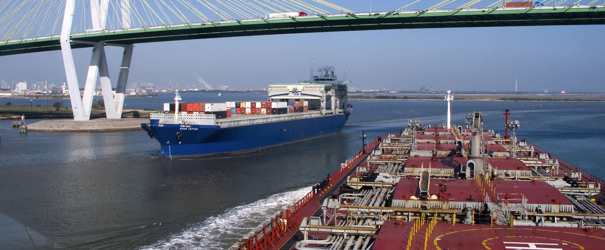
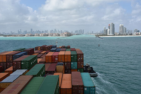
The U.S. maritime transportation system consists of over 25,000 miles of waterways, ports, and other navigable waters. It is the backbone for moving goods throughout the United States and abroad. More than 95% of all U.S. trade involves some form of maritime transport, and ships move 11.4 trillion worth of products in and out of U.S. ports every year. Ship operators across the globe rely on accurate information about ocean conditions, including water levels, currents, and winds, so they can plan efficient shipping routes, maximize cargo onboard, and safely navigate narrow shipping lanes. NOAA’s Center for operational Oceanographic Products and Services (CO-OPS) provides mariners with that data - including real-time environmental observations on water levels, currents, salinity, and meteorological parameters integrated with forecasts and geospatial information such as air gap clearance.
Safe and Efficient Transportation
The data CO-OPS provides improves navigation safety by reducing transit delays and allowing mariners to optimize their cargo load. Mariners need these data, tools, and services to make critical navigation decisions, especially as significantly larger vessels transit through U.S. ports as a result of the Panama Canal expansion.
Navigation Products and Services
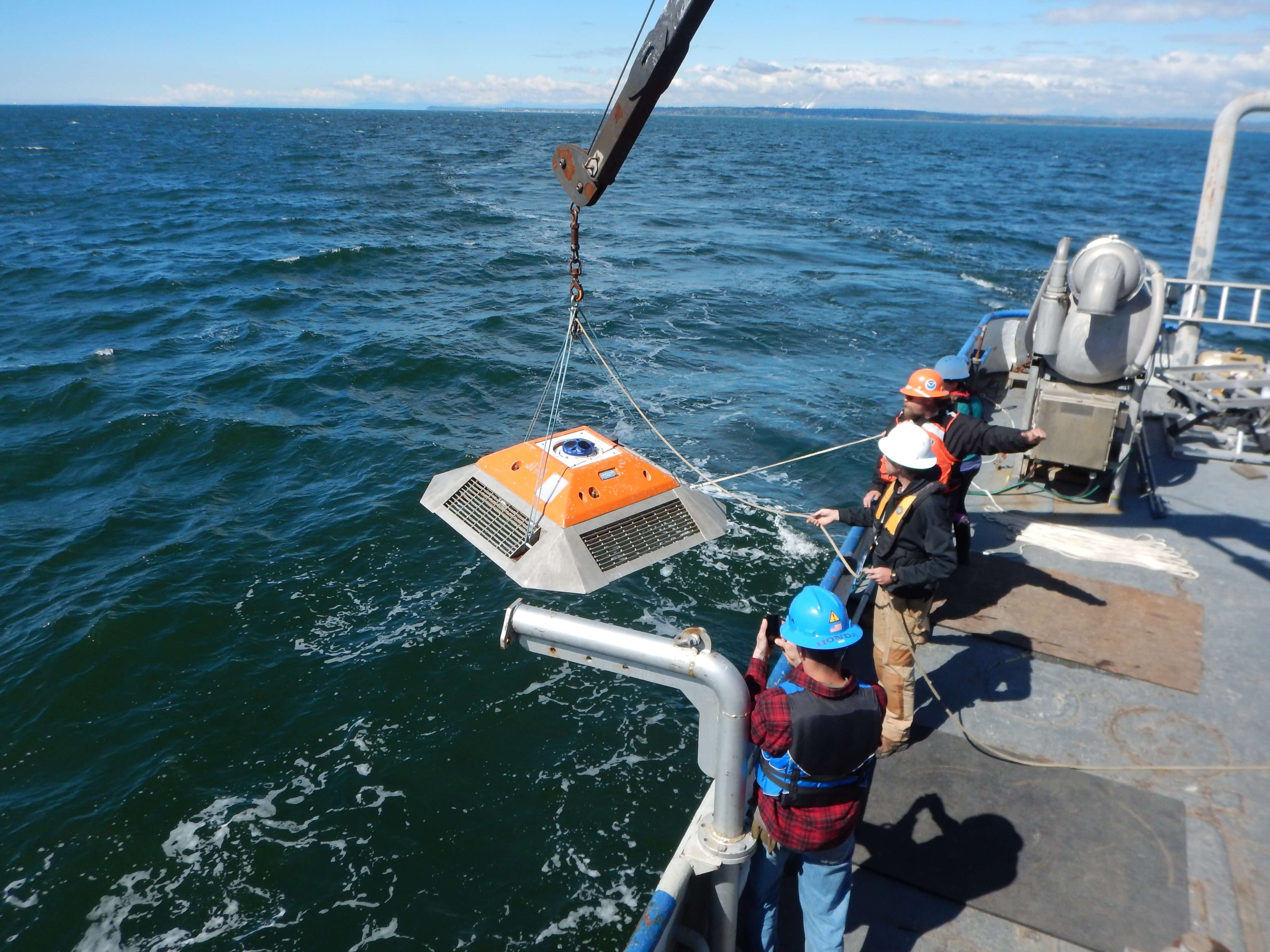
PORTS
An integrated system of sensors concentrated in seaports that provide commercial vessel operators with accurate and reliable real-time information about environmental conditions.
Operational Forecast Systems
Nowcast and forecast (out to 48-72 hours) model information on water levels, currents, wind, salinity, and water temperature.
Tide and Current Predictions
Customize tide and tidal current predictions calculated on-the-fly. CO-OPS is responsible for providing annual tide and current prediction tables for the nation.