Physical Oceanographic Real-Time System (PORTS®)
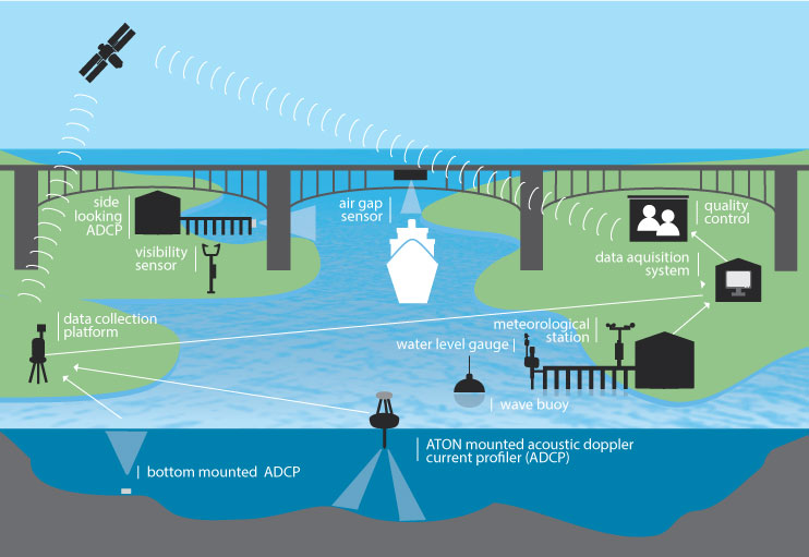
NOAA's PORTS® program is a decision support tool that improves the safety and efficiency of maritime commerce and coastal resource management. PORTS® collects and disseminates observations of water levels, currents, salinity, bridge air gap and meteorological parameters (e.g., winds, atmospheric pressure, air and water temperatures) that mariners need to navigate safely. The objectives of the PORTS® program are to promote navigation safety, improve the efficiency of U.S. ports and harbors, and ensure the protection of coastal marine resources.
MyPORTS
An application designed to let you customize your own PORTS® page (select what data you want to see from any PORTS®).
Navigation Services
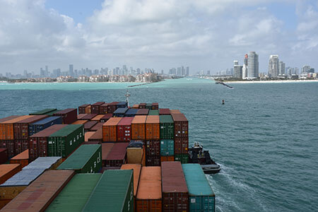
Ship operators rely on accurate information about ocean conditions, including water levels, currents, and winds, so they can plan efficient shipping routes, maximize cargo onboard, and safely navigate narrow shipping lanes.