Sea Level and Coastal Flooding Information
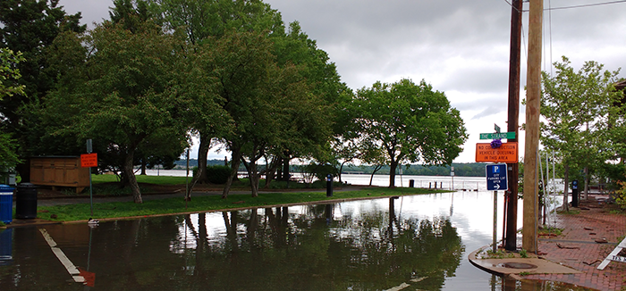
Flooded streets and parking lots, overflowing sewer systems, higher water during storms, disappearing coastlines. City planners in coastal states are all facing the same question: what decisions do we need to make today to protect our people, land, and infrastructure from extreme events and sea level change?
NOAA's Center for Operational Oceanographic Products and Services (CO-OPS) is the nation's source for coastal inundation data and sea level trends through its network of long-term water level gauges. With this data and online tools and analysis, CO-OPS enables coastal communities to better plan for and mitigate risk from changing ocean conditions.
For many coastal communities, the impacts of sea level change are here now, not years away. CO-OPS understands that coastal cities are already dealing with higher tides, more frequent tidal flooding, and more extreme water levels during storms. CO-OPS provides a suite of tools, including critical real-time information and outlooks that communities can use to prepare for these coastal hazards.
-
High Tide Flooding Outlooks
Show when, where, and how often locations may experience high tide flooding caused by higher than normal high tides. -
Sea Level Trends
A map of sea level rise and fall, trends, and anomalies
-
Coastal Inundation Dashboard
A decision support tool that helps communities anticipate and monitor what sea levels will do along the coast in the short-term and plan for the impacts of a high water event. -
Post-Event Peak Water Levels
Peak water level observations from NOS stations during tropical storms, hurricanes and significant non-tropical coastal storms.
-
Inundation Frequency & Duration
Analytic tool that shows how often and for how long certain areas of the coast experience high water. This information can be used for coastal restoration, coastal engineering and mapping projects. -
Extreme Water Levels
Statistics that shows the likelihood water levels will exceed a given elevation for select NOAA stations.
-
Sea Level Calculator
Explore how sea levels and coastal flooding have changed in frequency and magnitude for your chosen location. Use the latest sea level scenario projections to plan for the future. -
Coastal Ocean Reanalysis
High-resolution modeled historical water levels for the Atlantic, Caribbean, and Gulf coasts from 1979-2022.