Explore a Story Map about NOAA’s Physical Oceanographic Real-Time System®
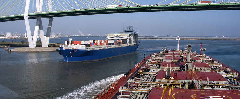
More than 95 percent of all U.S. trade involves some form of maritime transport, and ships move $1.4 trillion worth of products in and out of U.S. ports every year. Ship operators across the globe rely on accurate information about ocean conditions, including water levels, currents, and winds, so they can plan efficient shipping routes, maximize cargo onboard, and safely navigate narrow shipping lanes.
NOAA’s Physical Oceanographic Real-Time System (PORTS®) is an integrated system of sensors concentrated in seaports that provide commercial vessel operators with accurate and reliable real-time information about environmental conditions. PORTS® measures and disseminates observations for water levels, currents, bridge air gap, salinity and meteorological parameters (e.g., winds, waves, atmospheric pressure, visibility, and air and water temperatures).
For more dynamic, map-based information on why PORTS® are important, check out a PORTS® Story Map from NOAA’s Center for Operational Oceanographic Products and Services.