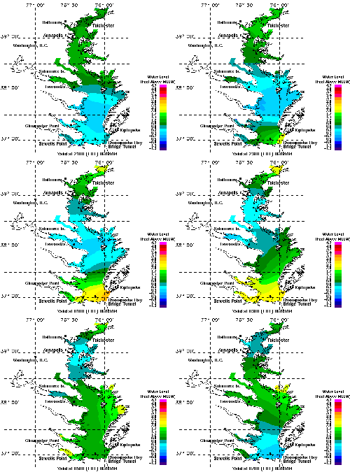
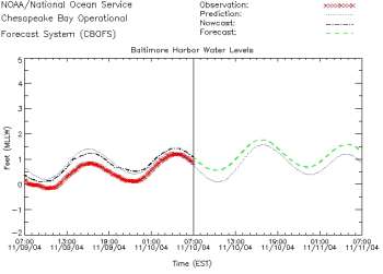
National Operational Coastal Modeling Program
The primary objective of the National Operational Coastal Modeling Program (NOCMP) is to develop a national network of Operational Nowcast and Forecast Hydrodynamic Model Systems (called OFS) to support NOAA's mission goals and priorities.
An OFS consists of the automated integration of observing system data streams, hydrodynamic model predictions, product dissemination and continuous quality-control monitoring. State-of-the-art numerical hydrodynamic models driven by real-time data and model forecast guidance will form the core of these end-to-end systems. The OFS will perform nowcast and short-term (0 hr. - 48 hr.)forecast predictions of pertinent parameters (e.g., water-levels, currents, salinity, temperature, waves) and disseminate them to users.
OFS will be implemented in critical ports, harbors, estuaries, Great Lakes and coastal waters of the United States, and will join NOS's operational oceanographic capabilities to form a national backbone of real-time data, tidal predictions, data management and operational modeling. This backbone will serve a broad base of users who rely on NOS products for informed decision-making. In addition to improving the safety and efficiency of commercial shipping and recreational boating, other direct applications of this information include: improving national security; proactively preventing, mitigating and responding to natural hazards and oil spills; facilitating safe, efficient and quality recreational use of coastal waters; aiding search-and-rescue, forensic and law-enforcement operations; improving coastal storm warnings; facilitating coastal management and stewardship; as well as providing research opportunities.
The NOCMP supports NOAA's mission and is consistent with the missions, visions and ongoing collaborations of NOS's Office of Coast Survey and its Center for Operational Products and Services. In addition, these goals complement proposed components of the Clobal Integrated Ocean Observing System (IOOS) and the identified role of a national backbone of observations, data management and modeling (Ocean.US, 2002). NOS has also been a leader in the research, development and implementation of OFS as they pertain to NOS's Physical Oceanographic Real-time Systems (PORTS®).

